Giving Us the World
On May 20, 1570, the world’s first true modern atlas, was published in Antwerp. Compiled by Flemish geographer and cartographer Abraham Ortelius (Ortels), Theatrum Orbis Terrarum [Theatre of the World] was a bound collection of maps and explanatory text. The maps could be bound because Ortelius produced them on uniform sized sheets. Brilliant.
Up until this point, maps were individual and produced in every size, usually large, rolled, and available to navigators. Theatrum made it possible for many people to see maps of the entire known world all in one modern convenience! Each map was printed from copper engravings.
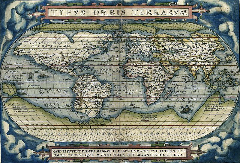
Although Ortelius was a cartographer, the maps he prepared were the best he could select from the latest 16th century maps. So convenient and leading edge was this idea of a map book that it was published in special editions for several countries and reprinted over 25 times, continuing its demand for over 40 years. Take a look: Talk about a bestseller!
With each new edition, Ortelius made corrections as new geographic information reached him. He created many supplementary additions for his atlas and scrupulously documented the names of his sources. Knowledgeable, scholarly, and diligent, Ortelius created the atlas format still employed today.
It comes as no surprise that, in a later edition of another geographic text, Ortelius speculated on the possibility of continental drift. An hypothesis only 300 years before its time!
B Bondar / Real World Content Advantage